

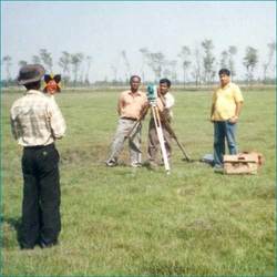
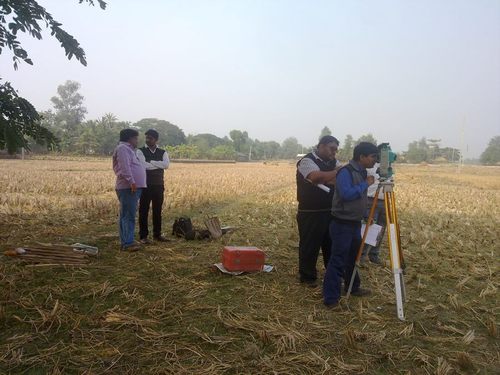
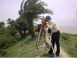
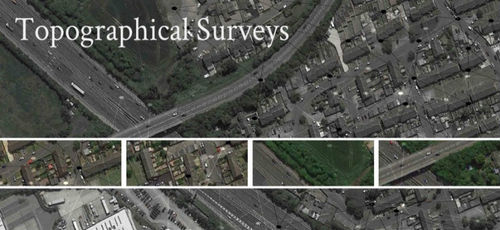
Topographical Survey In Howrah
(41 products)
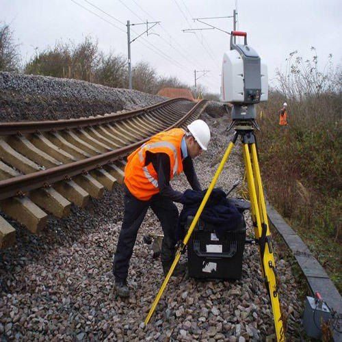
Topographic Survey - Premium Quality Service | Expert Professionals with Extensive Industry Knowledge
AccuracySub-meter
DeliveryDigital/Hardcopy
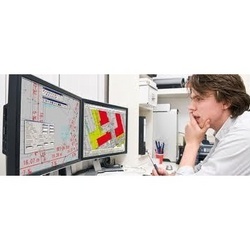
FeaturesAccurate data Detailed maps Efficient process High precision Cost effective
FormatPDF/DWG
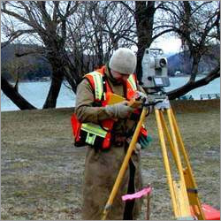
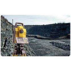
MethodologyGPS/Total Station
ScaleVariable
Road Topographic Survey
AccuracySub-meter
Data FormatDigital
DeliveryMaps/Reports
FeaturesPrecise Mapping Accurate Data Detailed Analysis Efficient Planning Road Design Project Success
MethodologyGPS/Total Station
Scale1:500 to 1:5000


Topographic survey and mapping with drones
MOQ1 Unit/Units
Supply Ability10 Per Week
Delivery Time7 Days
Rchobbytech Solutions Private Limited
Joka, Kolkata
 Trusted Seller
 Super Premium
 Super Seller
10 Years

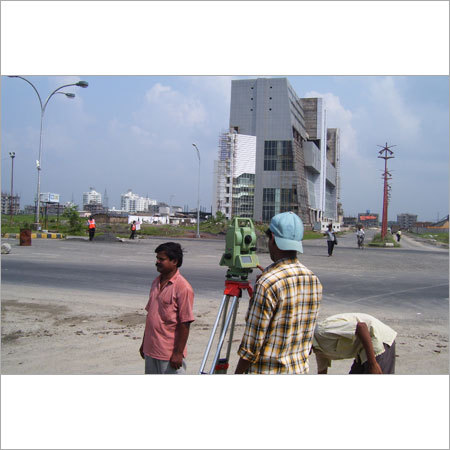
Topographical Survey Service Provider
MOQ1 Unit/Units
Product DescriptionTopographical Survey Service Provider
Aistech Global Private Limited
Saltlake Sector IV, Kolkata
Trusted Seller Premium Seller
3 Years
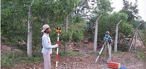
Topographical Land Survey
AccuracySub-meter
DeliveryDigital Maps
FeaturesAccurate mapping Precise surveys Detailed plans Efficient process Cost-effective
FormatPDF/DWG
MethodologyGPS/Total Station
Scale1:500
Topographical And Contour Survey Services
AccuracySub-meter
Data FormatsDXF CAD
DeliverablesContour maps
FeaturesAccurate Surveys Detailed Maps Fast Turnaround Cost-Effective High Quality
Project SizeVariable
SoftwareAutoCAD Civil 3D
Topographical Surveying Works
AccuracySub-meter
ComplianceLocal standards
DeliveryDigital/Print
FeaturesAccurate maps Detailed plans Site surveys Engineering support Customizable services
MethodsGPS Total Station
ScaleVariable
Building Topographical Survey Service
AccuracySub-meter
Area Covered24 Parganas (N)
Data FormatDigital Files
Delivery Time1-3 weeks
EquipmentModern
FeaturesPrecise Surveys Modern Tech Expert Team Customizable Affordable Price
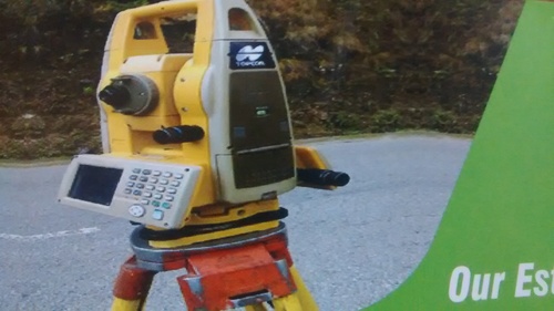
Topographical Survey Service - Advanced Instrumentation & Software Utilization | Accurate Ground Nature Representation Detailed Contour Mapping Professional Survey Team
Accuracy1cm RMS
Data DeliveryDigital
FeaturesAccurate Mapping Detailed Plans Cost-Effective Expert Team Advanced Tools
MethodologyGPS/Total Station
Project TimeVaries
SoftwareAutoCAD/Civil3D
Topographical Survey Service - Expert Quality Analysis Accurate Mapping Affordable Pricing
AccuracyHigh precision
ComplianceIS Standards
Coverage AreaVariable
Data OutputDigital format
FeaturesAccurate surveys Detailed maps Cost-effective Expert team High precision
ResolutionSub-millimeter

Topographical Survey - Expertly Crafted Mapping Solutions | High Standards Holistic Insights
AccuracySub-cm
EquipmentTotal Station
FeaturesHigh Accuracy Detailed Maps Expert Service Holistic Solutions Land Measurement
FormatDigital
MethodologyStandard
ResolutionHigh
Digital Topographic Survey and Mapping Service
AccuracySub-meter
ComplianceLocal Standards
Data FormatDigital files
DeliveryProject based
EquipmentTotal station
FeaturesPrecise mapping Digital output Expert service Affordable price
FAQs Related to Topographical Survey In Howrah
How many topographical survey products are available in Howrah?
Where can I find topographical survey nearby Howrah?
What are some related categories to topographical survey in Howrah?
Can I trust the Howrah Based Topographical Survey suppliers listed on Tradeindia?
How many Howrah based Topographical Survey manufacturers are there?
What is the price range of topographical survey in Howrah?
| Company Name | Currency | Product Name | Price |
|---|---|---|---|
| - | - | Geodatic Topographic Survey Service | 10000 INR (Approx.) |
| - | - | Topographic Survey Service | 10000 INR (Approx.) |
What is the delivery time for topographical survey in Howrah?
How many trusted sellers are available for Topographical Survey in Howrah?
Topographical Survey - Metal Gray Long Distance Range | Precise Surveys Data Collection Boundary Layout
AccuracyHigh precision
ColorGray
FeaturesPrecise surveys Data collection Mapping Construction aid Boundary Layout
MaterialMetal
MountTripod
RangeLong distance
Alpha Engineering Equipments
Nagpur
Trusted Seller1 Years
Topographical Land Survey
AccuracySub-meter level
ComplianceASCE/ASPRS standards
Data FormatDigital Terrain Model
DeliveryGIS ready data
FeaturesAccurate Mapping Detailed Analysis Precise Measurements Efficient workflow Cost-effective solution
MethodologyGPS/Total Station
Topographical Survey Service - Precision 3D Mapping Data Collection GPS and Total Station Field Survey Expertise
AccuracySub-meter
Data Output3D map
DeliveryDigital format
FeaturesLand mapping Accurate data 3D models Competitive rates
MethodologyGPS Total Station
ScaleVariable
Topographic Survey
AccuracySub-meter
ComplianceLocal standards
DeliveryDigital maps
FeaturesPrecise measurements Accurate mapping Detailed analysis Reliable results Expert services
MethodologyGPS/Total Station
ScaleVariable

Topographical Survey
AccuracySub-meter
Data FormatsMultiple
DeliveryDigital format
FeaturesAccurate Mapping Detailed Analysis Cost-Effective Expert Staff Prompt Service
MethodologyGPS/Total Station
ScaleVariable

Geodatic Topographic Survey Service
AccuracySub-meter
ComplianceLocal Standards
Data TypesContours 3D models
Delivery FormatDigital
FeaturesAccurate surveys Prompt service Sophisticated tech Global coverage Professional team
MethodologyGPS/LiDAR

Topographic Modeling Systems
ConnectivityUSB
DimensionsVariable
DisplayLCD
Dominant ColorWhite
FeaturesAuto Shot Large Database Easy Operation Quick Reference USB Connection Multi-Language Keratoconus Screen
Power SupplyAC
My Healthskape Medicals Pvt. Ltd.
New Delhi

Topographic Survey
Accuracycm level
ComplianceIndustry standards
Data formatDigital files
DeliveryDigital report
FeaturesAccurate mapping Detailed analysis Efficient workflow High precision Cost-effective Reliable data
MethodologyLaser scanning

Topography Survey For Hydro Power Projects Density: Low
Product DescriptionWe are highly involved in providing Topography Survey For Hydro Power Projects. These are rendered as per customer's given details and requirements. This services are executed by highly qualified and experienced team. We charge very nominal for this services

Topographical Surveys Services
AccuracySub-centimeter
ComplianceIndustry Standards
Data DeliveryDigital formats
FeaturesPrecise Surveys Accurate Mapping Detailed Analysis Project Planning Risk Mitigation Cost Savings
MethodologyDGPS Total Station
ScaleVariable Scales

Seismic & Geological Survey Service - 2D/3D Seismic Gravity Surveys Custom Mapping | Sophisticated Technology Expert Execution Immediate Service
AccuracyHigh Precision
Data FormatDigital
Delivery TimeFast turnaround
FeaturesPrecise surveys Global service Fast service Customizable 3D Mapping Data analysis Sophisticated tech
ReportingDetailed report
Software UsedIndustry standard
Topographical Survey - Robotic Instrumentation Laser & Infra-Red Measurement Technology Remote Data Capture
AccuracySub-centimeter
Data CaptureElectronic
DeliveryDigital
FeaturesAccurate Surveys Fast Results Efficient Process High Quality Affordable Pricing Robotic Tech Latest Tech Remote Surveys
InstrumentationTrimble Series
SoftwareSurvey Software
Topographical Survey - Advanced Data Integration Remote Sensing Analytics Topographic Mapping & Digital Elevation Modelling for Infrastructure Development
AccuracyHigh accuracy
Data ProcessingAdvanced processing
Data SourcesRemote sensing Survey
FeaturesAccurate data Detailed maps Land analysis Problem areas Infrastructure planning
Output FormatDigital maps
Scale RangeVariable scales
Topographical Survey Consultancy Service - Offline Client Location
AccuracySub-centimeter
Data formatPoint clouds
DeliverablesDigital models
Duration1 day minimum
FeaturesAccurate surveys Detailed maps Site analysis Efficient process Cost-effective Reliable data
MethodologyLaser scanning
Popular Products


© 1999-2026 Infocom Network Private Limited. All rights reserved.