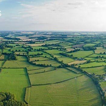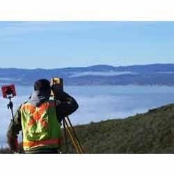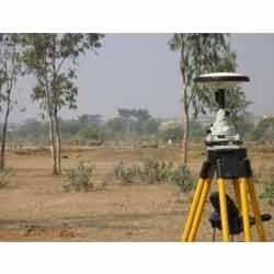


Topographical Survey - Advanced Data Integration, Remote Sensing Analytics, Topographic Mapping & Digital Elevation Modelling For Infrastructure Development
Get Latest Price

In Stock
Product Specifications
| Data Sources | Remote sensing, Survey |
| Output Format | Digital maps |
| Accuracy | High accuracy |
| Software | GIS software |
| Data Processing | Advanced processing |
| Scale Range | Variable scales |
| Usage | Infrastructure development, land evaluation and problem area identification |
| Features | Accurate data, Detailed maps, Land analysis, Problem areas, Infrastructure planning |
Product Overview
Key Features
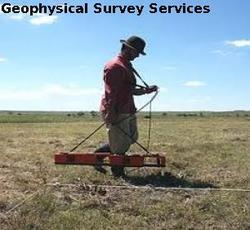
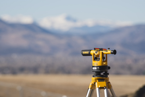
Our topographical survey basically deals with raw survey data, remote sensing data, topographic mapping and digital elevation modelling. These surveys are playing an active role in quite beneficial in infrastructure development to evaluate problem areas of the field and land.
Company Details
ABM Engg. & Surveyors, Registered in 2010 at Gurugram in Haryana, is a leading service provider of Quality Surveyors in India. ABM Engg. & Surveyors is one of Trade India's verified and trusted names for listed services. With extensive experience in the field of Quality Surveyors, ABM Engg. & Surveyors has made a reputed name for itself in the market with satisfactory Contour Survey, Surveying Services, Topographical Survey, etc.
Focusing on a customer-centric approach, ABM Engg. & Surveyors has a pan-India presence and caters to a huge consumer base throughout the country. Get Quality Surveyors from ABM Engg. & Surveyors at Trade India quality-assured services.
Focusing on a customer-centric approach, ABM Engg. & Surveyors has a pan-India presence and caters to a huge consumer base throughout the country. Get Quality Surveyors from ABM Engg. & Surveyors at Trade India quality-assured services.
Business Type
Service Provider
More Products From This Seller


Seller Details
Gurugram, Haryana
Proprietor
Mr Satveer Singh
Address
B-136, vasant appartment, delhi road, Gurugram, Haryana, 122001, India
Report incorrect details