

Remote Sensing Services In Ghaziabad
(11 products)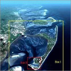
Gis Remote Sensing Services
SoftwareERDAS
Data TypeDigital
ProcessingImage Processing
Analysis MethodRemote Sensing
ComplianceISO CMM
AccuracyHigh


Battery Monitoring with Remote Services
MOQ1 Piece/Pieces
Supply Ability100 Per Month
Delivery Time7 Days

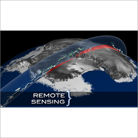
Remote Sensing Services
Data Acquisition MethodsSatellite Imagery
Spatial ResolutionVariable
Spectral ResolutionMultispectral
Data FormatsGeoTIFF ERDAS
AccuracySub-meter
Data ProcessingOn-site

Remote Sensing Services - Advanced Satellite Imaging & Processing | Precision Land Use Mapping Change Detection Geo Referencing
ResolutionHigh
Data formatsGeoTIFF ERDAS
AccuracySub-meter
PlatformsSatellite Aerial
ProcessingOrthorectification
SensorsMultispectral
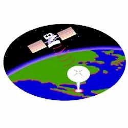
Remote Sensing Service
Satellite TypeMultiple
Sensor ResolutionHigh-resolution
Data ProcessingAdvanced algorithms
Map ProjectionsMultiple options
Data FormatsGeoTIFF Shapefile
AccuracySub-meter

Remote Sensing
Sensor TypeMultispectral
ResolutionHigh
PlatformSatellite
Data FormatGeoTIFF
AccuracySub-meter
Processing TimeRapid

Gis And Remote Sensing Services
Data FormatsShapefile GeoTIFF
SoftwareArcGIS QGIS
ScaleVariable
AccuracySub-meter
ProjectionUTM WGS84
DeliveryDigital

Project Management Services - Agile & Waterfall Methodologies Team Size 1-10+ | Budget Adherence On-Time Delivery Efficient Execution Risk Mitigation Scope Management Weekly Reporting
Project ScopeVaried
MethodologyAgile/Waterfall
Team Size1-10+
Reporting FrequencyWeekly
Communication Tools/Video
Software UsedMS Project
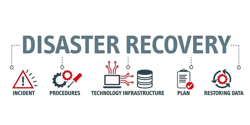
Disaster Recovery Management Services
Product DescriptionDisaster Recovery Management Services

IT Infrastructure Management Services
Product DescriptionIT Infrastructure Management Services

Remote Connect VPN Services
TypeVPN Services
MaterialSoftware Solution
Control DistanceUnlimited (Internet-Based Access)
Working Frequency24/7 Continuous Operation
Input PowerN/A (Cloud/Software-Based)
Sound LevelSilent (No Audible Sound)
Fcoos Technologies Private Limited
Bengaluru
 Trusted Seller
1 Years
FAQs Related to Remote Sensing Services In Ghaziabad
How many remote sensing services products are available in Ghaziabad?
Where can I find remote sensing services nearby Ghaziabad?
What are some related categories to remote sensing services in Ghaziabad?
Can I trust the Ghaziabad Based Remote Sensing Services suppliers listed on Tradeindia?
How many Ghaziabad based Remote Sensing Services manufacturers are there?
What is the delivery time for remote sensing services in Ghaziabad?
How many trusted sellers are available for Remote Sensing Services in Ghaziabad?
Popular Categories in Ghaziabad
Popular Products


© 1999-2026 Infocom Network Private Limited. All rights reserved.