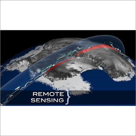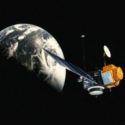
Remote Sensing
Price:
Get Latest Price
In Stock
Product Specifications
| Accuracy | Sub-meter |
| Data Format | GeoTIFF |
| Features | Earth observation, Data acquisition, High resolution, Fast processing, Infrastructure mapping, Accurate analysis |
| Platform | Satellite |
| Processing Time | Rapid |
| Resolution | High |
| Sensor Type | Multispectral |
| Usage | Urban infrastructure development, environmental monitoring, precision agriculture |
Product Overview
Key Features
Remote sensing is the art & science to measure the earth and acquisition of information on the earth objects using sensors on airplanes or satellites. Remote sensing data are used in various applications to analyze the study area according to the need. The time taken to do the same process is much less than the traditional surveying methods. We have highly skilled professionals, well experienced in this technology to produce maps for various applications especially in urban infrastructure developments, using high resolution images
Company Details
Registered in 2011, Hard Castle GIS Solution Pvt. Ltd. has made a name for itself in the list of top service providers of Software Design in India. Hard Castle GIS Solution Pvt. Ltd. is listed in Trade India's list of verified companies offering a wide array of Application Devlopement, Content Management System (CMS), Flash , etc. Contact here for Software Design in Pune, Maharashtra.
Business Type
Service Provider
More Products From This Seller


Seller Details
Pune, Maharashtra
Director
Mr. Swapnil Jadhav
Address
sector qa 3/3, building 203, ajmera pimpri, near ajmera school, Pune, Maharashtra, 411018, India
Report incorrect details