

Topographical Survey In Delhi
(40 products)
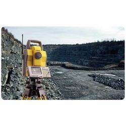
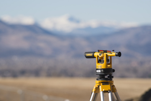
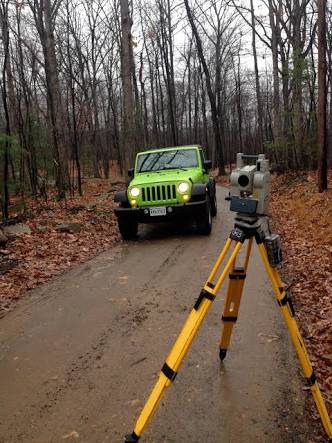
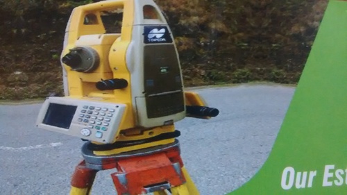
Topographical Survey
MethodologyGPS/Total Station
AccuracySub-meter
DeliveryDigital format
ScaleVariable
Data FormatsMultiple
UsageSite planning construction and design

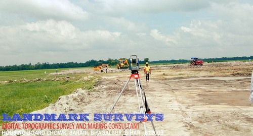
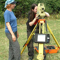
Geodatic Topographic Survey Service
Survey TypeTopographic
MethodologyGPS/LiDAR
AccuracySub-meter
Delivery FormatDigital
Data TypesContours 3D models
UsageSite surveys land development construction planning and environmental impact assessments.

Topographic Modeling Systems
Product TypeMedical Device
Dominant ColorWhite
DimensionsVariable
WeightVariable
Power SupplyAC
DisplayLCD
My Healthskape Medicals Pvt. Ltd.
New Delhi

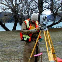
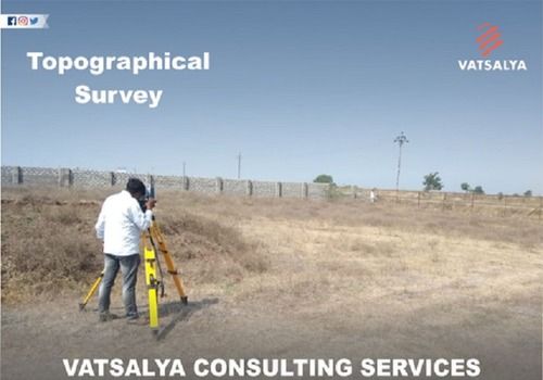
Topographic Survey
MethodologyLaser scanning
SoftwareDedicated software
Data formatDigital files
Accuracycm level
DeliveryDigital report
UsageLand development construction planning environmental impact assessments utility mapping and infrastructure design.

Topography Survey For Hydro Power Projects Density: Low
Product DescriptionWe are highly involved in providing Topography Survey For Hydro Power Projects. These are rendered as per customer's given details and requirements. This services are executed by highly qualified and experienced team. We charge very nominal for this services

Topographical Surveys Services
MethodologyDGPS Total Station
AccuracySub-centimeter
Data DeliveryDigital formats
SoftwareAutoCAD GIS
ComplianceIndustry Standards
ScaleVariable Scales

Seismic & Geological Survey Service - 2D/3D Seismic Gravity Surveys Custom Mapping | Sophisticated Technology Expert Execution Immediate Service
Survey Types2D/3D Seismic
Data FormatDigital
AccuracyHigh Precision
Delivery TimeFast turnaround
Software UsedIndustry standard
UsageLand marine aerial topographic mapping for construction engineering environmental projects
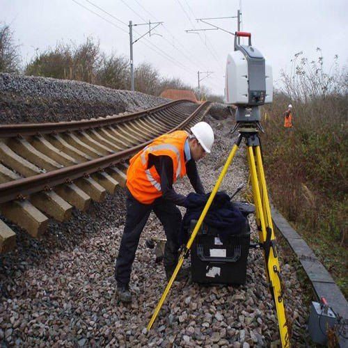
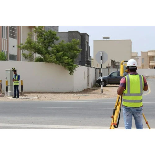
Topographical Survey - Robotic Instrumentation Laser & Infra-Red Measurement Technology Remote Data Capture
InstrumentationTrimble Series
TechnologyLaser/Infrared
AccuracySub-centimeter
Data CaptureElectronic
SoftwareSurvey Software
UsageCity Town Industrial Greenfield
Topographic Survey
MethodologyGPS/Total Station
AccuracySub-meter
ScaleVariable
DeliveryDigital maps
SoftwareAutoCAD
UsageLand surveying construction planning infrastructure projects
Topographical Survey - Advanced Data Integration Remote Sensing Analytics Topographic Mapping & Digital Elevation Modelling for Infrastructure Development
Data SourcesRemote sensing Survey
Output FormatDigital maps
AccuracyHigh accuracy
SoftwareGIS software
Data ProcessingAdvanced processing
Scale RangeVariable scales
Topographical Survey Consultancy Service
MethodologyLaser scanning
AccuracySub-centimeter
DeliverablesDigital models
SoftwareIndustry standard
Data formatPoint clouds
UsageTopographical surveys for construction infrastructure projects and land development.
Topographic Survey
MOQ1 Unit/Units
Payment TermsCash on Delivery (COD) Telegraphic Transfer (T/T)
Supply Ability100 Per Week
Delivery Time1 Week
Landmark Material Testing And Research Laboratory Pvt. Ltd.
Mansarovar, Jaipur
FAQs Related to Topographical Survey In Delhi
How many topographical survey products are available in Delhi?
Where can I find topographical survey nearby Delhi?
What are some related categories to topographical survey in Delhi?
Can I trust the Delhi Based Topographical Survey suppliers listed on Tradeindia?
How many Delhi based Topographical Survey manufacturers are there?
What is the price range of topographical survey in Delhi?
| Company Name | Currency | Product Name | Price |
|---|---|---|---|
| - | - | Geodatic Topographic Survey Service | 10000 INR (Approx.) |
| - | - | Topographic Survey Service | 10000 INR (Approx.) |
| - | - | Topographical Survey Service | 2500 INR (Approx.) |
| - | - | Topographic Survey Service | 5000 INR (Approx.) |
What is the delivery time for topographical survey in Delhi?
How many trusted sellers are available for Topographical Survey in Delhi?
Topographic Survey - Cutting-Edge Techniques for Infrastructure Development | Customized Solutions for Problem Area Evaluation
MethodologyLiDAR GPS
AccuracySub-meter
ResolutionHigh
Data FormatDigital
DeliveryElectronic
ScaleVariable
Ground Water & Mineral Investigation Consultancy Centre (p) Ltd.
Jawahar Nagar, Jaipur
Topographical Land Survey
MethodologyGPS/Total Station
AccuracySub-meter level
Data FormatDigital Terrain Model
SoftwareAutoCAD/Civil 3D
DeliveryGIS ready data
UsageTopographical mapping for construction planning infrastructure projects and land development

Topographic Survey Services - Sub-Centimeter Accuracy | GPS/Total Station Methodology XYZ Coordinates Data Format Digital File Delivery Compliant with AS 1730
MethodologyGPS/Total Station
AccuracySub-centimeter
Data FormatXYZ coordinates
SoftwareAutoCAD GIS
DeliveryDigital files
UsageLand surveying construction projects infrastructure development and environmental impact assessments
Kiranotech Engineering Consultancy Private Limited
Jawahar Nagar, Jalandhar
 Trusted Seller
 Premium Seller
2 Years
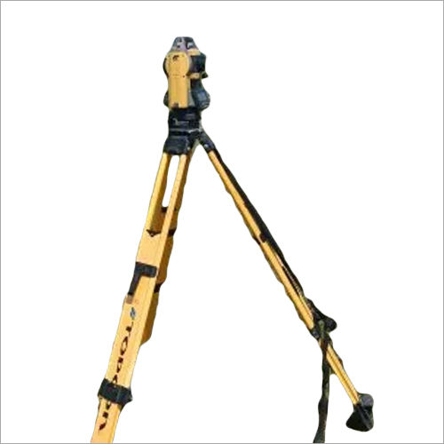
Land Surveyor System
TypeSurvey System
ColorGray
AccuracyHigh precision
RangeLong distance
MountTripod
MaterialMetal

Topographic Survey Consultancy Services
Survey MethodGPS Total Station
AccuracyCM Level
Data FormatDigitalPDF
SoftwareAutoCAD ArcGIS
Delivery TimeProject-based
Team SizeProject-based
Digital Topographic Survey and Mapping Service
MethodologyDigital
Data FormatDigital files
AccuracySub-meter
DeliveryProject based
EquipmentTotal station
UsageLand surveying construction planning and infrastructure projects.
Topographical Survey Service - Rapid Response Within 4 Days Online and Offline Method for All Site Locations
Service Duration4 days
Surveying MethodOnline/Offline
Suitable ForAny site
LocationPan India
Service ModeOffline
Area/SizeAs required
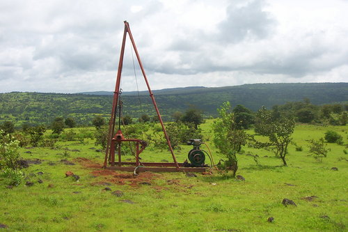
Topographical Survey - Comprehensive Geotechnical Investigations | Advanced Soil Testing Reliable Data Collection Client-Centric Approach
TypeDrilling rig
Height4 meters
Power SourceEngine
MaterialSteel
Weight500 kg
Accuracy1 cm
Ochre Drillers India Pvt. Ltd.
Naupada, Thane
Trusted Seller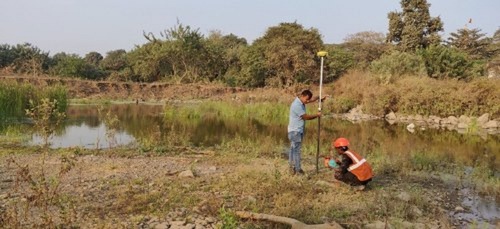
Topographic Survey Service - Pan India Availability Immediate Online/Offline Mode
Service AreaPan India
AccuracyHigh precision
Data FormatDigital
Delivery TimeFast turnaround
MethodologyGPS/Total Station
SoftwareAutoCAD
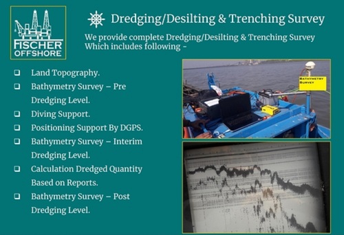
Automatic Bathymetry Survey Services For Dredging And Desilting
AccuracyHigh
ResolutionSub-meter
MethodMultibeam
SoftwareDedicated
Depth RangeVariable
UsageDredging desilting trenching surveys and related subsea projects.
Fischer Marine And Offshore Private Limited
Navi Mumbai
Topographic Survey Service - Precision Mapping Solutions | Expert Workforce Cost-Effective Accuracy
EquipmentTotal Station
AccuracySub-centimeter
Data formatXYZ coordinates
DeliveryDigital files
SoftwareAutoCAD compatible
UsageLand surveying construction engineering projects
Topographical Survey Services
MethodologyGPS/Total Station
Accuracycm Level
Data FormatDigital
DeliverablesMaps Reports
SoftwareAutoCAD/GIS
UsageLand surveying construction projects and real estate development
Topographical Survey Service - Expert Quality Analysis Accurate Mapping Affordable Pricing
AccuracyHigh precision
ResolutionSub-millimeter
TechnologyTotal Station
Data OutputDigital format
Coverage AreaVariable
UsageLand surveying construction planning and infrastructure projects in Durgapur West Bengal.
Topographical Survey Service - Comprehensive Field Analysis Methodology | Qualitative and Quantitative Research for Infrastructure Development
MethodologyGPS Total Station
AccuracySub-meter
Data DeliveryDigital formats
ScaleVariable
ResolutionHigh
UsageInfrastructure development land evaluation
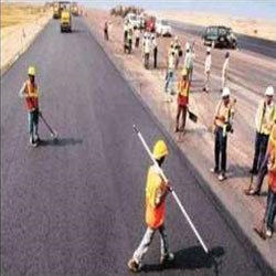
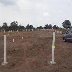
Route Survey - Advanced Topographical and Geological Analysis | Expert Data Collection Using Latest Surveying Instruments
MethodologyModern techniques
Data CollectedTopographical geological
InstrumentsPlane-table tachymetry
AccuracyHigh precision
MappingDetailed maps
ComplianceIndustry standards
Popular Products


© 1999-2025 Infocom Network Private Limited. All rights reserved.