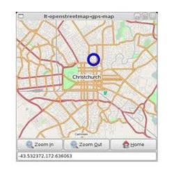
Gis And Satellite Mapping Software
Price:
Get Latest Price
In Stock
Product Specifications
| Accuracy | Sub-meter |
| Compatibility | Windows,macOS |
| Data Sources | Satellite, GIS |
| Features | Accurate mapping, Reliable data, Affordable price, Satellite imagery, GIS analysis |
| Interface | User-friendly |
| Resolution | Variable |
| Software Type | GIS Mapping |
| Usage | Mapping, analysis, and visualization of geographic data from satellite and GIS sources for urban planning, resource management, and environmental monitoring. |
Product Overview
Key Features
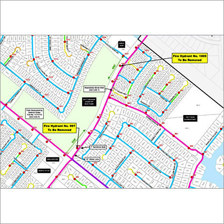
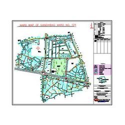
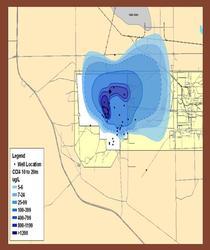
We are offering our customers best in class GIS and Satellite Mapping Software that is known in the market for their accuracy and reliability. These GIS and Satellite Mapping Software are rendered with the help of our experts, who holds vast experience in this domain. We offer these GIS and Satellite Mapping Software most affordable prices.
Company Details
Established in 1996, IMA GIS Engineering Solutions Pvt. Ltd. has made a name for itself in the list of top service providers of Software Design in India. IMA GIS Engineering Solutions Pvt. Ltd. is listed in Trade India's list of verified companies offering a wide array of Cadastral Survey Software, Command Area And L I S Software, GIS and Satellite Mapping Software, etc. Contact here for Software Design in Nagpur, Maharashtra.
Business Type
Service Provider
Establishment
1996
More Products From This Seller


Seller Details
Nagpur, Maharashtra
Managing Director
Mr. Sarang Paranjpe
Address
Door No-13/2, IT Park, Gayatri Nagar, Parsodi, Nagpur, Maharashtra, 440022, India
Report incorrect details