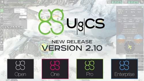
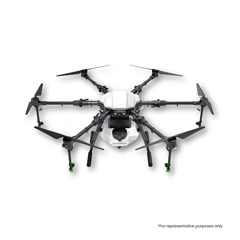
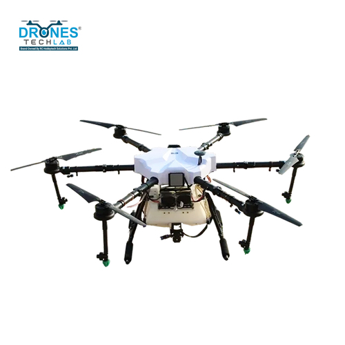
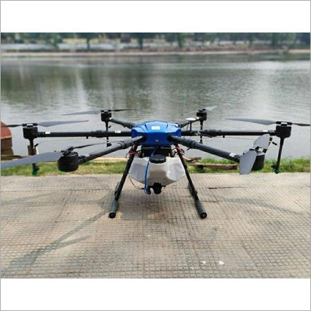
5 Ugcs Drone Software
Price:
Get Latest Price
Minimum Order Quantity :
1 Pack
In Stock
Product Specifications
| Main Domestic Market | All India |
| Sample Available | 1 |
| Sample Policy | Contact us for information regarding our sample policy |
| Delivery Time | 2 Days |
| GSTIN | 0% |
Product Overview
Key Features
Company Details
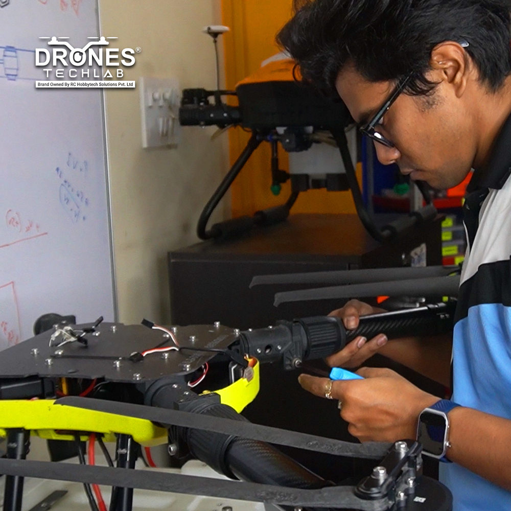
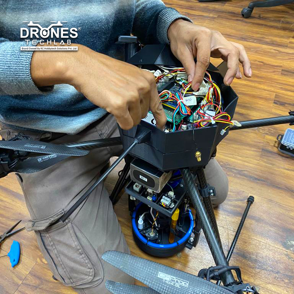
Drones Tech Lab develops unmanned (UAV/ROVERS/AUTOMATIZED) systems catering various B2G and B2B industries i.e. Agriculture l Emergency Response l Forestry l Healthcare l Real Estate l Oil & Gas l Mining. Its expertise lies in design economically viable systems idle to penetrate inaccessible areas fast and easy, reducing risks, gathering higher density data for accurate results with real-time tracking and overview of the situation from a remote site.
Business Type
Manufacturer, Service Provider
Employee Count
100
Establishment
2014
Working Days
Monday To Sunday
GST NO
19AAHCR7370L1ZP
Certification
Recognised by DIPP, Ministry of Commerce, Govt of India
Related Products
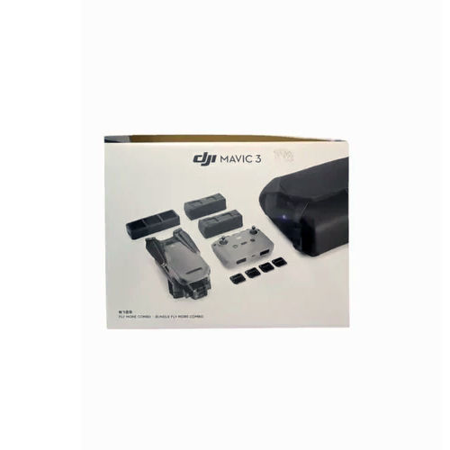
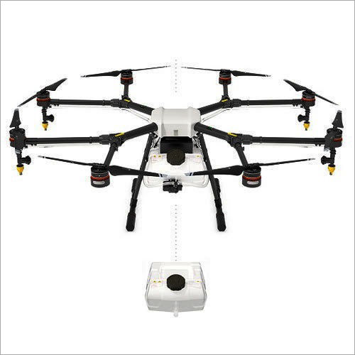
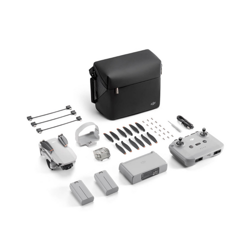
DJI Mavic 3 Fly Combo DJI Drone Camera
Price: 254998.0 INR
MOQ - 1 Piece/Pieces
Falco Robotics Private Limited
Delhi, Delhi
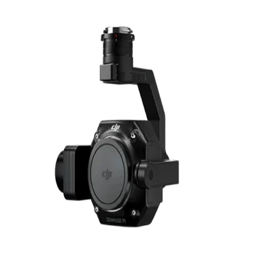
Zenmuse P1 Drone Camera - Application: Outdoor
Price: 425000.00 INR
MOQ - 10 Unit/Units
Hindsky Innovations Private Limited
Jaipur, Rajasthan
Customized Building Signage - Application: Commercial
Price: 137737.0 INR
MOQ - 1 Unit/Units
Sign Work
Mumbai, Maharashtra
E88 Pro Max Drone Camera Toy - Age Group: 8-11 Yrs
Price: 800.0 INR
MOQ - 1 Piece/Pieces
Shri Shyam Electronics
Jaipur, Rajasthan
Octocopter Drone Camera Application: Outdoor
Price: 45000 INR
MOQ - 1 Piece/Pieces
Unique Rc Products
New Delhi, Delhi
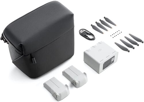
Dji Mini 2 Se Fly More Combo Drone Camera Camera Pixels: 12 Megapixel (Mp )
Price: 68000 INR
MOQ - 1 Piece/Pieces
Xboom Utilities
Bengaluru, Karnataka
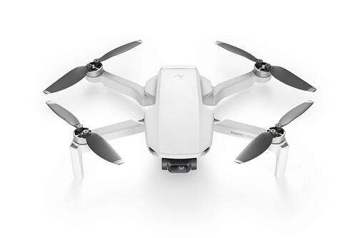
DJI Mini 3 Pro Drone Camera With Smart Controller (Standard Pack)
Price: 50000 INR
MOQ - 1 Unit/Units
Goodwill Eco Products
Virudhunagar, Tamil Nadu

Gimbal Camera Lens - Monocoque Carbon Fiber Body, 4 Inch Length, Matte Black | 18mm Wide-Angle, High Sharpness for Stunning 8K Aerial Footage
Price: 110000.00 INR
MOQ - 1 Unit/Units
Ascom Systems
Mumbai, Maharashtra
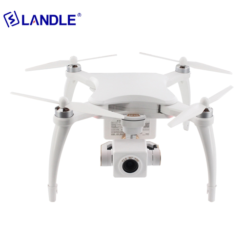
Nl-6Ka Aerial Photography Used Drone Camera Drones For Sale Water Proof
Price: 880 USD ($)
MOQ - 1 Set/Sets
New Landle Technology Co., Ltd.
Jiangsu, Jiangsu Sheng
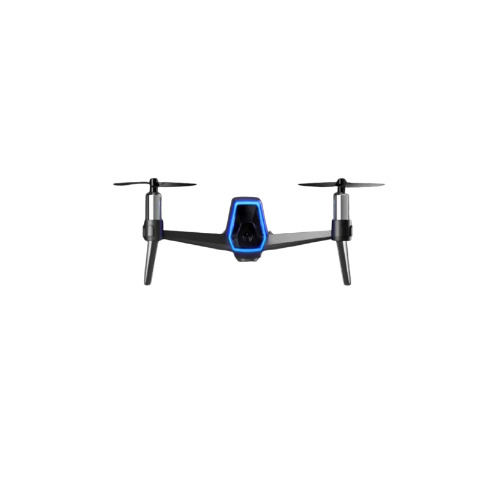
IZI Shift Nano Drone - 5MP Camera, 1080P Full HD Video, Grey Metal Body | Ultra-Portable, Advanced Stabilization, Wi-Fi Connectivity, Long Battery Life, Weatherproof, User-Friendly Controls
Price: 26000 INR
MOQ - 10 Piece/Pieces, Unit/Units, Unit/Units
Navkar Traders
New Delhi, Delhi
Explore Related Categories


More Products From This Seller
Seller Details

GST - 19AAHCR7370L1ZP
 Rating
Kolkata, West Bengal
Name
Mr Ritesh Kanu
Address
W-110, Ground Floor, IIM Calcutta Innovation Park, Joka, Kolkata, West Bengal, 700104, India
drone camera in Kolkata
Report incorrect details