Topographical Survey Services By San Survey Engineering
Price:
Get Latest Price
In Stock
Product Specifications
| Accuracy | Sub-centimeter |
| Coverage | Variable |
| Data format | Digital |
| Delivery | GIS compatible |
| Features | Accurate mapping, Detailed contours, Efficient workflow, Reliable data, Legal compliance, Project planning, Infrastructure design, Precise measurements |
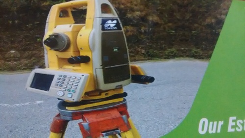
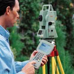
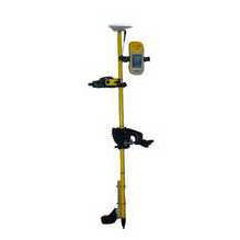
| Methodology | GPS, Total Station |
| Scale | 1:500 to 1:5000 |
| Software | Industry standard |
| Usage | Topographical mapping for infrastructure development, including sewer, water, and storm drain systems. Covers land boundaries within India, certified by Survey of India. |
Product Overview
Key Features
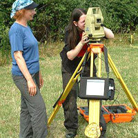
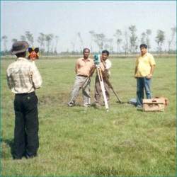
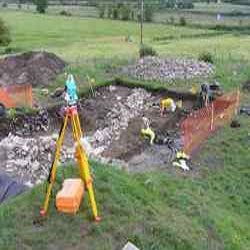
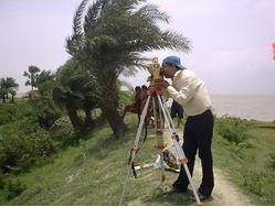
We conduct various types of Topographical Survey Services for our clients. These Topographical Survey is useful for depicting topographical features, spot levels, contours and service details of development works such as sewer lines, water supply lines, storm water drains and more. We have with us all the maps that have the external boundaries of India and is certified by Survey of India. This is another survey which is being successfully carried out by us.
Company Details
Established in 2003, San Survey Engineering has made a name for itself in the list of top service providers of Others in India. San Survey Engineering is listed in Trade India's list of verified companies offering a wide array of GPS Survey, Gps Survey Service, Hydro Graphic Survey, etc. Contact here for Others in Hooghly, West Bengal.
Business Type
Service Provider
Establishment
2003
More Products From This Seller


Seller Details
Hooghly, West Bengal
Proprietor
Mr. Avijit Chaudhuri
Address
465, Jiban Pal Bagan, 3 No Gate Karbala (west) Near Ramkrishna High School, P.O Hooghly, Hooghly, West Bengal, 712103, India
Report incorrect details