
Environmental Modeling And Gis Services
Price:
Get Latest Price
In Stock
Product Specifications
| Software | GIS software |
| Data Types | Geologic, Hydrogeologic |
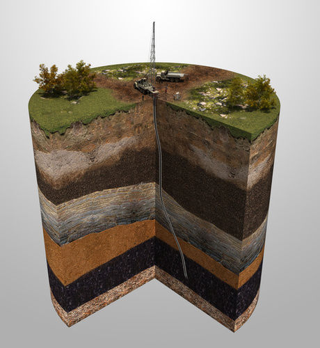
| Modeling Types | 3D geological |
| Map Types | Aquifer conditions |
| Output formats | Maps, Reports |
| Compliance | Local standards |
| Usage | Environmental impact assessments, site remediation, municipal water supply monitoring |
| Features | Data analysis, 3D modeling, GIS mapping, Accurate results, Environmental solutions, Subsurface visualization |
| Main Export Market(s) | Australia, North America, Eastern Europe, Western Europe, Middle East, Africa, Central America, South America, Asia |
| Main Domestic Market | All India |
Product Overview
Key Features
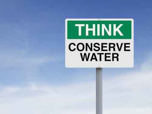
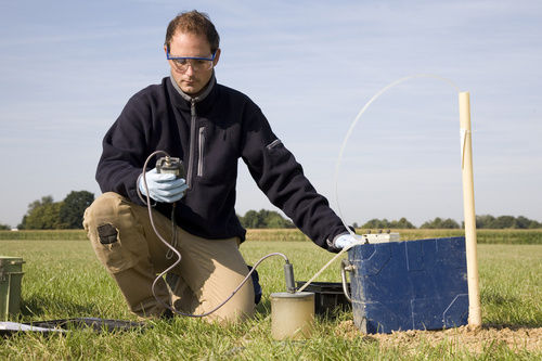
We are the leading service provider in Pune, Maharashtra, India and providing Environmental Modeling and GIS Services to our valuable customers. Environmental projects, such as municipal water supply monitoring, environmental impact assessments, and site remediation, often come required conceptual design and modeling to understand subsurface conditions.
Using proven data management practices, we incorporate geologic, hydrogeologic, hydraulic, and contaminant information that our Geographic Information System (GIS) analyzes and visualizes to produce specialized maps such as:
a cAquifer Conditions, Groundwater flow and direction,
a cHydraulic design of storm water and ground water (drainage, dewatering, soil protection, land subsidence, heaving piping)
a cUrban Drainage system,
a cHydrostratigraphic cross-sections
a cInterpreted geologic surfaces
a cGroundwater recharge flux
a cPotential contaminant sources
Subsurface visualization with 3D models
Beyond the GIS data assessment, we use the Environmental Data Model to develop three-dimensional geological conceptual models and numerical groundwater flow and transport models. After model development, the Environmental Data Model integrates wellhead protection areas, contaminant, and water balance information, which can be incorporated into reports, or land use policies.
a cClimate Change Adaptation
a cWater Resources
a cInfrastructure
a cSpatial Planning and Urban Development
a cRenewable Energy
a cNatural Hazards,
a cWater quality
Company Details
AC Wifer, Established in 2015 at Pune in Maharashtra, is a leading service provider of Engineering & Consulting Services in India. AC Wifer is one of Trade India's verified and trusted names for listed services. With extensive experience in the field of Engineering & Consulting Services, AC Wifer has made a reputed name for itself in the market with satisfactory Environmental Modeling and GIS Services, etc.
Focusing on a customer-centric approach, AC Wifer has a pan-India presence and caters to a huge consumer base throughout the country. Get Engineering & Consulting Services from AC Wifer at Trade India quality-assured services.
Focusing on a customer-centric approach, AC Wifer has a pan-India presence and caters to a huge consumer base throughout the country. Get Engineering & Consulting Services from AC Wifer at Trade India quality-assured services.
Business Type
Service Provider
Establishment
2015