3d Mapping Services
Price:
Get Latest Price
In Stock
Product Specifications
| Accuracy | Cm-level |
| Data Acquisition | LiDAR/Photogrammetry |
| Data Output | 3D Models |
| Delivery Format | Digital files |
| Features | 3D visualization, Precise measurements, Site analysis, Data acquisition, Project planning, Efficient workflow |
| Mapping Technology | UAV-based |
| Software | Customizable |
| Usage | Site surveys, construction, mining, and environmental monitoring. |
Product Overview
Key Features
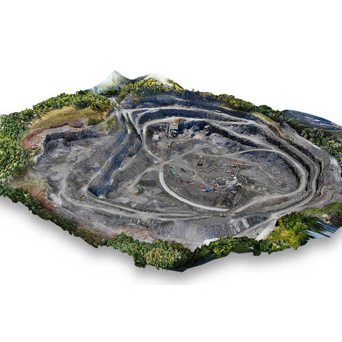
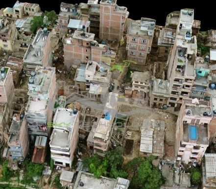
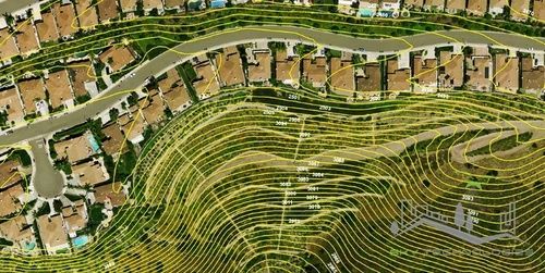
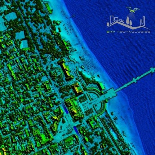
Our organization is known in the market for providing a highly appreciated 3D Mapping Services from Nagpur, Maharashtra, India. 3D Surface mapping provides an impressive three dimensional display and record of your project site, using either aerial photography, lidar or SAR. It gives us opportunity to make various measurements from photographs. 3D Mapping is Three step procedure carried out to gain photogrammetric feeds measurements from UAV equipments.
Step 1 is called Planing where all the pre-flight planning of site is carried out.
Step 2 is called Flight. In this step UAV is flied and record necessary data and feeds for measurement.
Step 3 is called Processing and Output.
Step 1 is called Planing where all the pre-flight planning of site is carried out.
Step 2 is called Flight. In this step UAV is flied and record necessary data and feeds for measurement.
Step 3 is called Processing and Output.
Company Details
Established in 2012, SKY TECHNOLOGIES has made a name for itself in the list of top service providers of Commercial Service in India. SKY TECHNOLOGIES is listed in Trade India's list of verified companies offering a wide array of 3D Modeling From Point Cloud Service, 3D Textured Mapping Services, 3d Mapping Services, etc. Contact here for Commercial Service in Nagpur, Maharashtra.
Business Type
Service Provider
Establishment
2012
GST NO
27AIHPJ1892J2ZW
More Products From This Seller


Seller Details
GST - 27AIHPJ1892J2ZW
Nagpur, Maharashtra
Proprietor
Mr. Sanket Sunil Jejani
Address
Plot No 15, CHANDAK LAYOUT, GHAT ROAD, COTTEN MARKET, Nagpur, Maharashtra, 440018, India
Commercial Service in Nagpur
Report incorrect details