

Land Surveyor In Mumbai
(15 products)
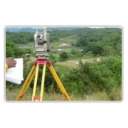
Residential Land Survey Consultancy Service
Survey TypeResidential Commercial
MethodologyGPS Total Station
AccuracySub-meter
SoftwareAutoCAD GIS
Report FormatDigital Printed
UsageResidential land boundary demarcation property line definition construction planning legal compliance

Land Survey Services - Comprehensive Topographical Mapping Contour Analysis & Utility Detailing | Reliable Timely Execution Outstanding Results
MethodologyGPS Total Station
AccuracySub-meter
DeliverablesMaps Reports
SoftwareAutoCAD GIS
Team Size2-5 persons
UsageLand area measurement utility mapping construction site surveying topographic surveys boundary surveys and volume calculations.

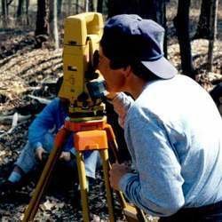
Land Surveying
MethodologyGPS Total Station
AccuracySub-meter
DeliverablesDigital maps
SoftwareAutoCAD
Turnaround Time2-4 weeks
UsageIndustrial and commercial land surveys plot surveys for area calculation road and structure mapping tree location mapping boundary determination.

Land survey services
MethodologyGPS Total Station
AccuracySub-meter Level
Data FormatsDigital CAD
DeliverablesMaps Reports
EquipmentState-of-the-art
SoftwareSpecialized GIS

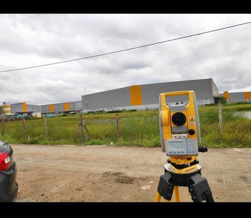
Land Surveying Service - Precision Measurement High-Accuracy GPS Total Station Technology Professional Surveyors Expertise
MethodologyTriangulation GPS
EquipmentTrimble Leica
AccuracySub-centimeter
SoftwareIndustry Standard
PersonnelCertified Surveyors
DeliverablesDigital Maps Reports

Land Surveyors - Expert Precision Surveying Services Residential and Commercial Property Analysis Mapping and Elevation Measurement
Service AreaVasai Maharashtra
Survey MethodsGPS Total Station
AccuracySub-centimeter
DeliverablesMaps reports
SoftwareAutoCAD GIS
UsageLand boundary determination construction projects property mapping and legal purposes in multiple Indian states.

Land Surveyor Service Tablets
MethodologyGPS/Total Station
AccuracySub-centimeter
Delivery2 Weeks
SoftwareAutoCAD
ReportingPDF/DWG
UsageLand boundary demarcation construction site surveying and property mapping in Pune.

Land Survey - Professional Grade Surveying Services | Accurate 3D Positioning Cost-Effective Solutions Expert Team
MethodTriangulation
AccuracySub-meter
EquipmentTheodolite
SoftwareGIS Software
ScaleVariable
UsageLand boundary definition construction layout and topographic mapping.
Topographic Land Survey - Precise Three-Dimensional Positioning Accurate Distance and Angle Measurement
Instrument TypeTheodolite
AccuracySub-millimeter
RangeVariable
ResolutionHigh
Data OutputDigital
UsageTopographic land surveys contour mapping determining 3D positions and distances.

Ashoka Land Record Scanning Services - Fast Scanning 300 DPI Resolution PDF/TIFF Formats | Easy Search Online/Offline Storage Technical Support
Scanning Resolution300 DPI
File FormatsPDF TIFF
Indexing MethodKeyword based
Storage TypeCloud local
SecurityPassword protected
Turnaround Time24 hours

Land Survey Service - Smart Search Enabled Interactive Mapping Tool | Select Taluka/Village and Land Survey Number Effortlessly
MethodologyGPS/Total Station
AccuracyCentimeter Level
SoftwareAutoCAD/GIS
DeliveryDigital/Print
Team Size2-5 Professionals
Project DurationVariable
Land Survey Services
MethodologyDGPS Total Station
AccuracySub-centimeter
Data FormatDigital
SoftwareIndustry standard
DeliveryFast turnaround
EquipmentModern
FAQs Related to Land Surveyor In Mumbai
How many land surveyor products are available in Mumbai?
Where can I find land surveyor nearby Mumbai?
What are some related categories to land surveyor in Mumbai?
Can I trust the Mumbai Based Land Surveyor suppliers listed on Tradeindia?
How many Mumbai based Land Surveyor manufacturers are there?
What is the price range of land surveyor in Mumbai?
| Company Name | Currency | Product Name | Price |
|---|---|---|---|
| - | - | Ashoka Land Record Scanning Services | 5/A4 Legal - 7.5/A3 A2 INR (Approx.) |
What is the delivery time for land surveyor in Mumbai?
Accuracy of Land Surveys
AccuracySub-cm
MethodGPS/Total Station
SoftwareSpecific Software
Report TypePDF/Digital
Delivery Time2 Weeks
UsageLand boundary determination construction site mapping property surveying and other land-related projects.

Land Surveying Service - Integrated 7/12 Utara Access | Comprehensive Real Estate Solutions Under One Umbrella
MethodologyGPS/Total Station
AccuracySub-meter
SoftwareAutoCAD/GIS
DeliverablesDigital maps
Turnaround Time2-4 weeks
ComplianceIS 11909
Mauli Surveying
Surat
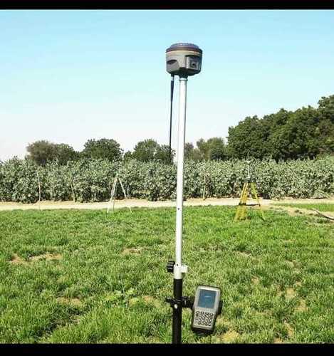
Black And White Floor-Mounted Portable Land Surveyor Dgps Pole
TypeDGPS Pole
ColorSilver
HeightAdjustable
MaterialAluminum
MountingFloor
GradeAutomatic
Popular Products


© 1999-2026 Infocom Network Private Limited. All rights reserved.