

Land Surveyor In Ambala-cantt
(33 products)
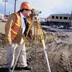
Land Mapping Survey
Service ModeOnline
Data AccuracyHigh
ScaleVariable
CoveragePan-India
Data FormatDigital
UsageSite location analysis and land surveying across India

Commercial Projects Of Emaar MGF Land Limited
Property TypeCommercial
LocationMultiple
SizeVaries
AmenitiesState-of-the-art
ArchitectureModern
UsageCommercial projects acquisition and leasing consultancy for Emaar MGF Land Limited properties such as Central Plaza Palm Square Palm Springs Plaza and Hyderabad International Convention Centre.
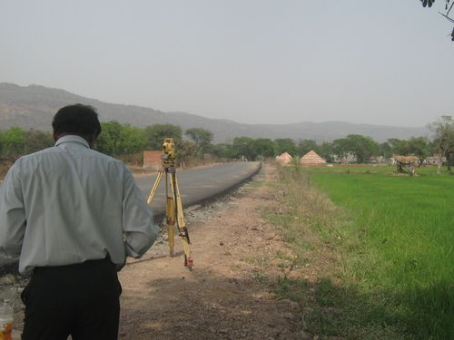
Land Survey Services - Precision Analysis Durable Techniques | Accurate Measurements Using Geometry & Trigonometry
MethodologyGeodetic surveying
EquipmentTotal station
AccuracySub-centimeter
Data formatDigital
DeliveryReport maps
UsageLand selection construction planning and legal compliance.
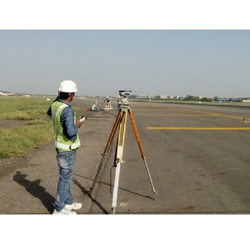
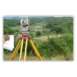
Topographic Contour Survey - Global Coverage Customized Solutions | Immediate Service Sophisticated Technology Professional Execution
Product TypeSurveyor
Primary ColorWhite
AccuracyHigh precision
RangeAny area
Power SourceBattery
Data OutputDigital

Digital Land Surveying and Mapping Services
Scale1:1000
AccuracySub-meter
ResolutionHigh
Data formatDigital
Delivery time1-2 weeks
Coverage AreaPan India
Sristech Designers & Consultants Pvt. Ltd.
New Delhi

Land Survey Service
Service TypeLand Survey
Area CoverageGlobal
AccuracyHigh precision
TechnologySophisticated
PersonnelProfessionals
Delivery TimeImmediate

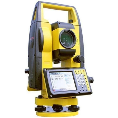
Land Surveying Instruments Total Station - Color: Yellow & Grey
Price: 150000 INR/Unit
MOQ1 Unit/Units
UsageSurveying
Operate MethodSemi-Automatic
Weight5 Kilograms (kg)
ColorYellow & Grey
ClassificationSurvey Instrument Precision Leveling Instrument
Supertech Survey And Services Pvt Ltd
Sector 10, Noida
 Premium Seller
4 Years

Land Survey - Cutting-Edge Technology Integration | Accurate Mapping Professional Land Photography Premier Client Services
MethodologyGPS Total Station
AccuracySub-meter
SoftwareAutoCAD ArcGIS
DeliverablesMaps reports
Data formatDigital
ComplianceIndustry standards

Land Broker
Property TypeResidential
LocationNoida
Size RangeVariable
Price RangeVariable
UsageSale purchase and rent of properties in Noida India. Meeting client needs and budgets.
Building TypesMultiple

Land Survey Service - Expert Team Collaboration | Affordable Rates Outstanding Quality
MethodologyGPS/Total Station
AccuracyHigh precision
SoftwareSurvey Pro
EquipmentTopcon
DeliverablesDigital maps
UsageLand boundary demarcation area calculation property surveys and construction planning in Lucknow Uttar Pradesh.

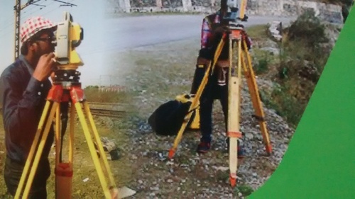
Land Surveyors - Total Station Surveying Services | Topographical Boundary Contour and Layout Work
Survey MethodsTotal Station
AccuracyHigh Precision
Data formatsDigital
SoftwareSpecialized
ReportingDetailed Reports
Team SizeExperienced Team
Land Survey Services
MethodologyDGPS Total Station
AccuracySub-centimeter
Data FormatDigital
SoftwareIndustry standard
DeliveryFast turnaround
EquipmentModern
FAQs Related to Land Surveyor In Ambala-cantt
How many land surveyor products are available in Ambala-Cantt?
Where can I find land surveyor nearby Ambala-Cantt?
Can I trust the Ambala-Cantt Based Land Surveyor suppliers listed on Tradeindia?
How many Ambala-Cantt based Land Surveyor manufacturers are there?
What is the price range of land surveyor in Ambala-Cantt?
| Company Name | Currency | Product Name | Price |
|---|---|---|---|
| - | - | Land Mapping Survey | 5000 INR (Approx.) |
| - | - | Topographic Land Surveyor | 10000 INR (Approx.) |
| - | - | Digital Land Surveying and Mapping Services | 400 INR (Approx.) |
| - | - | Land Surveying Instruments Total Station | 150000 INR (Approx.) |
| - | - | Ashoka Land Record Scanning Services | 5/A4 Legal - 7.5/A3 A2 INR (Approx.) |
What is the delivery time for land surveyor in Ambala-Cantt?
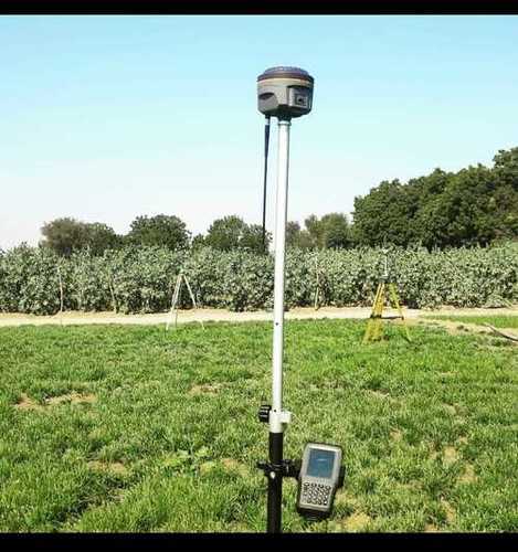
Black And White Floor-Mounted Portable Land Surveyor Dgps Pole
TypeDGPS Pole
ColorSilver
HeightAdjustable
MaterialAluminum
MountingFloor
GradeAutomatic

Ashoka Land Record Scanning Services
Scanning Resolution300 DPI
File FormatsPDF TIFF
Indexing MethodKeyword based
Storage TypeCloud local
SecurityPassword protected
Turnaround Time24 hours

Land Surveying Service - Integrated 7/12 Utara Access | Comprehensive Real Estate Solutions Under One Umbrella
MethodologyGPS/Total Station
AccuracySub-meter
SoftwareAutoCAD/GIS
DeliverablesDigital maps
Turnaround Time2-4 weeks
ComplianceIS 11909

Land Surveyors - Expert Precision Surveying Services Residential and Commercial Property Analysis Mapping and Elevation Measurement
Service AreaVasai Maharashtra
Survey MethodsGPS Total Station
AccuracySub-centimeter
DeliverablesMaps reports
SoftwareAutoCAD GIS
UsageLand boundary determination construction projects property mapping and legal purposes in multiple Indian states.
Topographical Surveyor Service
MethodologyTotal Station
AccuracyHigh precision
SoftwareAutoCAD
Data DeliveryDigital format
ScaleVariable scale
UsageLand surveys construction projects and site development in Durgapur West Bengal.

Land Survey and Geotechnical Investigation Services
MethodologyVarious
EquipmentState-of-the-art
PersonnelExperienced
ReportingDetailed
ComplianceIS-Codes
AccuracyHigh

Land survey services
MethodologyGPS Total Station
AccuracySub-meter Level
Data FormatsDigital CAD
DeliverablesMaps Reports
EquipmentState-of-the-art
SoftwareSpecialized GIS

Land Surveying Service - Precision Measurement High-Accuracy GPS Total Station Technology Professional Surveyors Expertise
MethodologyTriangulation GPS
EquipmentTrimble Leica
AccuracySub-centimeter
SoftwareIndustry Standard
PersonnelCertified Surveyors
DeliverablesDigital Maps Reports

Residential Land Survey Consultancy Service
Survey TypeResidential Commercial
MethodologyGPS Total Station
AccuracySub-meter
SoftwareAutoCAD GIS
Report FormatDigital Printed
UsageResidential land boundary demarcation property line definition construction planning legal compliance

Land Survey Services - Comprehensive Topographical Mapping Contour Analysis & Utility Detailing | Reliable Timely Execution Outstanding Results
MethodologyGPS Total Station
AccuracySub-meter
DeliverablesMaps Reports
SoftwareAutoCAD GIS
Team Size2-5 persons
UsageLand area measurement utility mapping construction site surveying topographic surveys boundary surveys and volume calculations.

Land Surveying
MethodologyGPS Total Station
AccuracySub-meter
DeliverablesDigital maps
SoftwareAutoCAD
Turnaround Time2-4 weeks
UsageIndustrial and commercial land surveys plot surveys for area calculation road and structure mapping tree location mapping boundary determination.

Land Surveyor Service Tablets
MethodologyGPS/Total Station
AccuracySub-centimeter
Delivery2 Weeks
SoftwareAutoCAD
ReportingPDF/DWG
UsageLand boundary demarcation construction site surveying and property mapping in Pune.

Land Survey - Professional Grade Surveying Services | Accurate 3D Positioning Cost-Effective Solutions Expert Team
MethodTriangulation
AccuracySub-meter
EquipmentTheodolite
SoftwareGIS Software
ScaleVariable
UsageLand boundary definition construction layout and topographic mapping.
Topographic Land Survey - Precise Three-Dimensional Positioning Accurate Distance and Angle Measurement
Instrument TypeTheodolite
AccuracySub-millimeter
RangeVariable
ResolutionHigh
Data OutputDigital
UsageTopographic land surveys contour mapping determining 3D positions and distances.
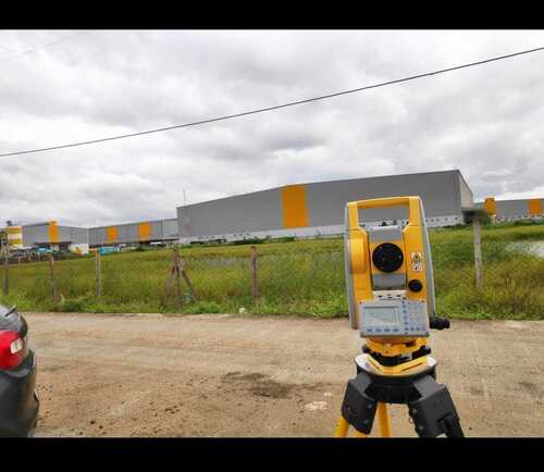
LAND SURVEY
TypeSurvey Equipment
AccuracySub-millimeter
Range500m+
MaterialAluminum
PowerBattery
UsageTopographical site surveys for dimension direction and elevation data.
Popular Products


© 1999-2025 Infocom Network Private Limited. All rights reserved.