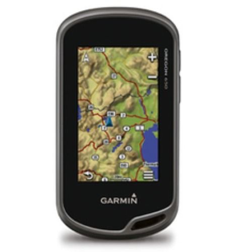
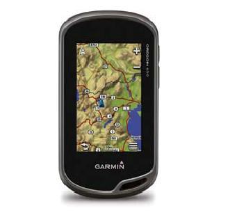
Oregon 550gps - 3-inch Touchscreen, 3.2mp Camera, Barometric Altimeter, 3-axis Compass | Rugged Gps Navigation, Photographic Memory, Wireless Sharing
Price:
Get Latest Price
In Stock
Product Specifications
| Altimeter | Barometric |
| Camera | 3.2 Megapixel |
| Compass | 3-Axis Electronic |
| Display | 3-inch Touchscreen |
| Expandability | MicroSD |
| Features | GPS Navigation, Photographic Memory, Rugged Design, Wireless Sharing, Easy Usage |
| GPS | High-Sensitivity |
| Internal Memory | 850 MB |
| Usage | Outdoor Navigation and Photography |
| Water Resistance | Yes |
Product Overview
Key Features
We are engaged in trading and distributing a qualitative range of Oregon 550GPS to our highly esteemed clients. It is a navigator with the photographic memory. It combines rugged outdoor touchscreen navigation with a 3.2 megapixel digital camera. It incorporates a high-sensitivity GPS, barometric altimeter, 3-axis electronic compass and a microSD card slot. Oregon 550GPS is a multipurpose device that will make your biggest adventures even more memorable. It has ganed us huge appreciation from our clients owing to its following features:
-
Take Pictures and Save Locations
Capture locations and memories with Oregon 550's 3.2 megapixel autofocus digital camera with 4x digital zoom. Each photo automatically is geotagged with the location of where it was taken, allowing you to navigate back to that exact spot in the future. Snap and view pictures in landscape or portrait orientation. With 850 MB of internal memory, you'll never miss a photo opportunity. To store online, simply connect Oregon 550 via USB and visit my Dashboard to upload and store your photos at Picasa a popular online photo sharing community. For more storage, insert a microSD card; you can even view pictures from other devices on microSD with Oregon's picture viewer.
- Touch and Go
Oregon 550 makes rugged navigation effortless with a tough, 3" (7.62 cm) diagonal, sunlight-readable, color touchscreen display. The interface is easy to use, so you'll spend more time enjoying the outdoors and less time searching for information. Both durable and waterproof, Oregon 550 is built to withstand the elements; bumps, dust, dirt, humidity and water are no match for this rugged navigator. - Get Your Bearings
Oregon 550 has a built-in 3-axis tilt-compensated electronic compass, which shows where you're heading even when you're standing still, without holding it level. Its barometric altimeter tracks changes in pressure to pinpoint your precise altitude, and you can use it to plot barometric pressure over time, which can help you keep an eye on changing weather conditions. And with its high-sensitivity, WAAS-enabled GPS receiver and HotFix A AR satellite prediction, Oregon 550 locates your position quickly and precisely and maintains its GPS location even in heavy cover and deep canyons. - Share Wirelessly
With Oregon 550 you can share your waypoints, tracks, routes and geocaches wirelessly with other compatible Oregon, Colorado A AR and Dakota A AR users. Now you can send your favorite hike to your friend to enjoy or the location of a cache to find. Sharing data is easy. Just touch "send" to transfer your information to similar units. - Add Maps
Adding more maps is easy with Garmin's wide array of detailed topographic, marine and road maps. With its microSD card slot, Oregon 550 lets you load TOPO U.S. 24K maps and hit the trail, plug in BlueChartA AR g2 preloaded cards for a great day on the water or City Navigator map data for turn-by-turn routing on roads (see maps tab for compatible maps). Oregon 550 also supports BirdsEye Satellite Imagery (subscription required), that lets you download satellite images to your device and integrate them with your maps. - Find Fun
Oregon 550 supports Open Caching.com GPX files for downloading geocaches and details straight to your unit. By going paperless, you're not only helping the environment but also improving efficiency. Oregon stores and displays key information, including location, terrain, difficulty, hints and descriptions, which means no more manually entering coordinates and paper print outs! Simply upload the GPX file to your unit and start hunting for caches. Show off photos of your excursions with Oregon's picture viewer. Slim and lightweight, Oregon is the perfect companion for all your outdoor pursuits. - Plan Your Next Trip
Take charge of your next adventure with BaseCamp software to view and organize your maps, waypoints, routes, and tracks and send them to your Garmin device. This free trip-planning software displays topgraphic map data in 2-D or 3-D on your computer screen, including contour lines and elevation profiles. It also can transfer an unlimited amount of satellite images when paired with a BirdsEye Satellite Imagery subscription as well as geotag photos, or associate them with specific waypoints.
Company Details
Business Type
Exporter, Service Provider, Supplier, Trading Company
Employee Count
30
Establishment
2004
Working Days
To
GST NO
07AWXPS3160L1ZP
Payment Mode
Cash on Delivery (COD)
Related Products
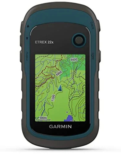
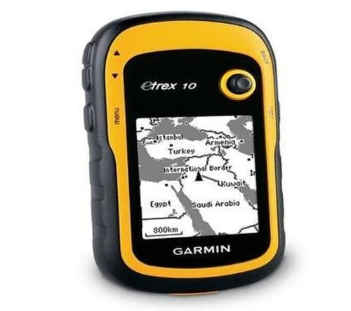
Handheld Gps Device - Dimensions: 3.5 Inch Inch (In)
Price: 80000 INR
MOQ - 1 Piece/Pieces
Engineering Solutions Equipment
New Delhi, Delhi
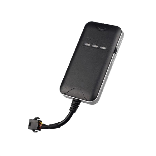
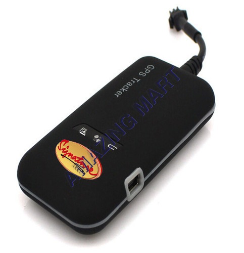
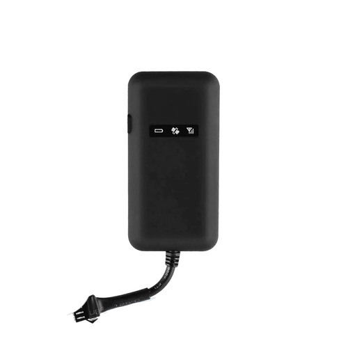
Gt020 Gps Device Usage: Automotive
Price: 2550 INR
MOQ - 10 , Piece/Pieces
Roadpin Technologies Private Limited
New Delhi, Delhi
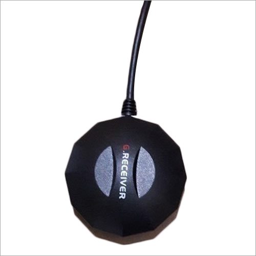
Usb Gps Device Application: Commercial
Price: 1850 INR
MOQ - 1 Piece/Pieces
Bitsonline Technologies
New Delhi, Delhi
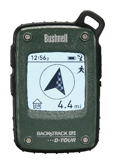
Portable Back Track D- Tour Gps Device Usage: Automotive
Price: 12000.00 INR
MOQ - 1 Piece/Pieces
A.m.industrial Enterprises
New Delhi, Delhi
Garmin Gps Oregon 650 Weight: 100-250 Grams (G)
Price: 17500 INR
MOQ - 1 Piece/Pieces
Asim Navigation India Pvt Ltd.
New Delhi, Delhi


Garmin GPS Device - Polished Durable Electric | Screen Display, Photo Viewer, Automotive GPS Navigator
Price: 46500 INR
MOQ - 5 Piece/Pieces
Ambika Electronics
New Delhi, Delhi
Car And Vehicle Gps Devices - Usage: Hand Held
Price: 4000 INR
MOQ - 5 Piece/Pieces
Lalit Enterprises
New Delhi, Delhi
More Products From This Seller


Seller Details
GST - 07AWXPS3160L1ZP
New Delhi, Delhi
Proprietor
Mr. Rajesh Sahoo
Address
B No. 15/19, East Punjabi Bagh, 6/7, Ground Floor, West Patel Nagar, New Delhi, Delhi, 110008, India
Report incorrect details